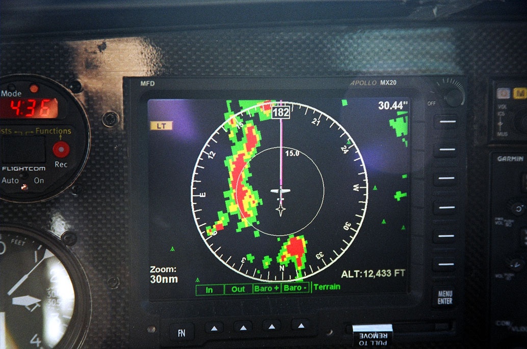
A nice feature of the MX20 MFD: terrain mapping. This picture was taken right after the one previous. La Veta Pass can be seen as a gap in the mountain range. Black signifies terrain greater than 2000 feet below with green and yellow showing terrain closer to the plane's altitude. Red is at or above the plane's current altitude.